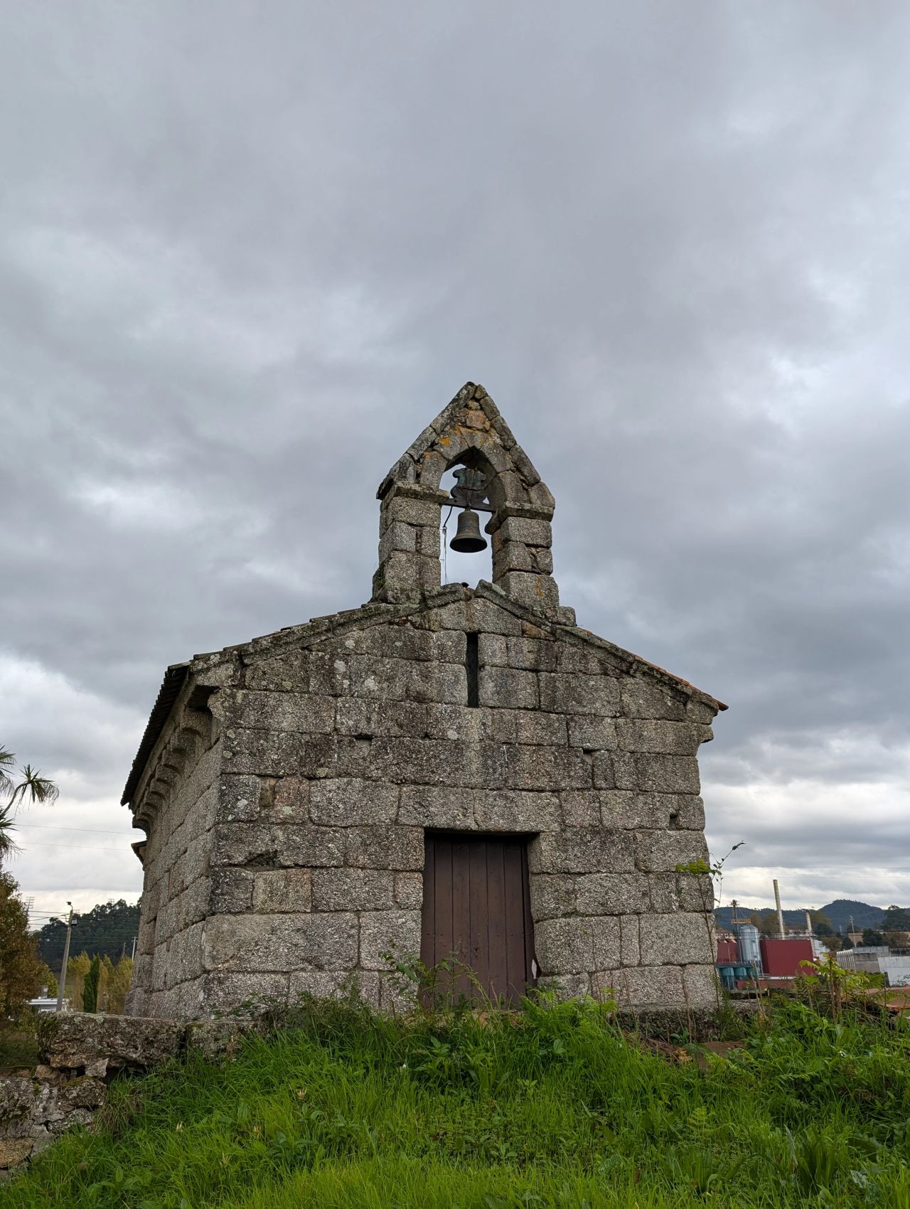
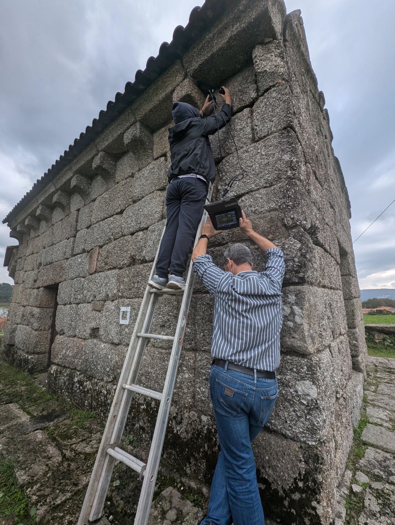
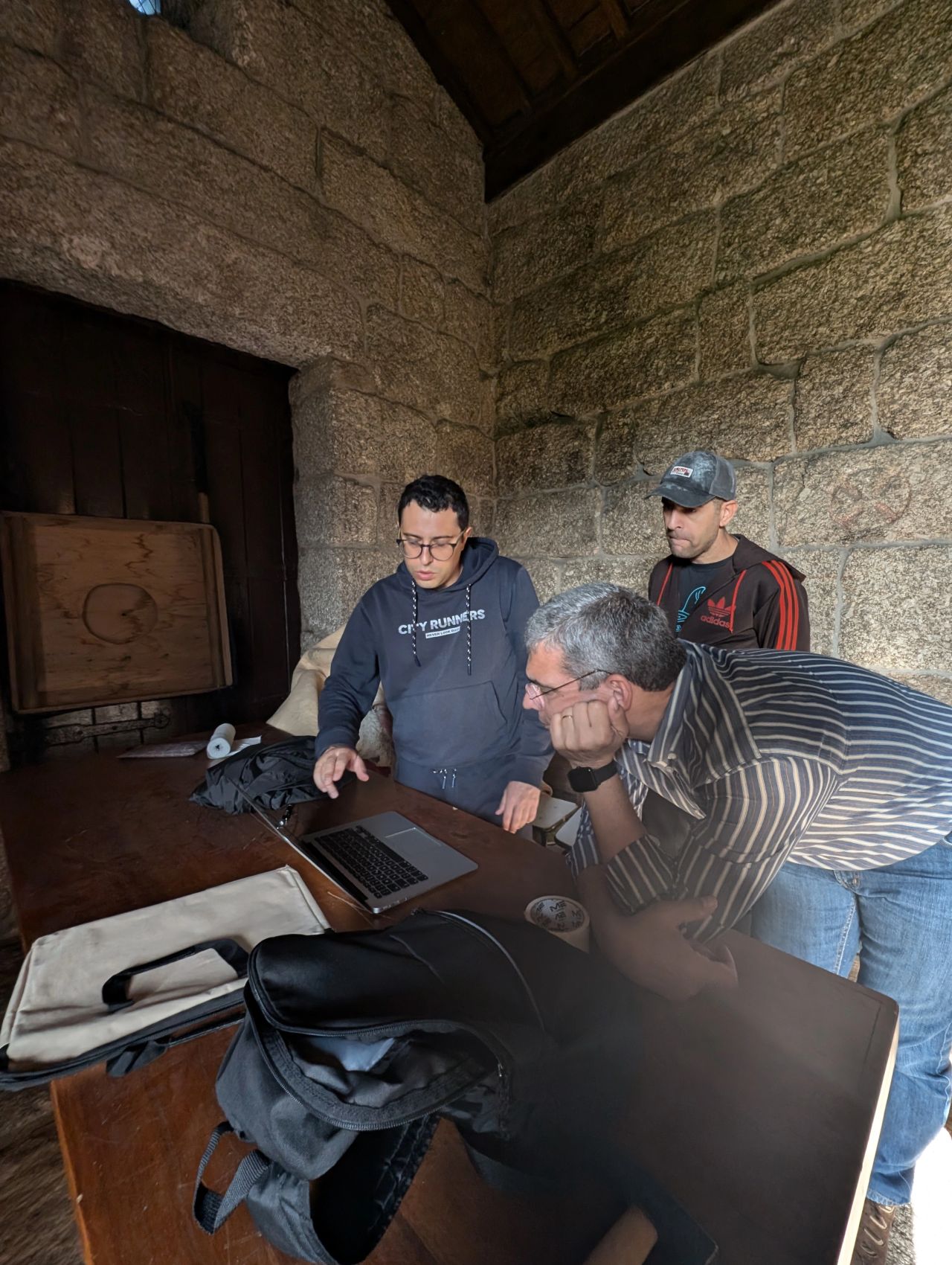
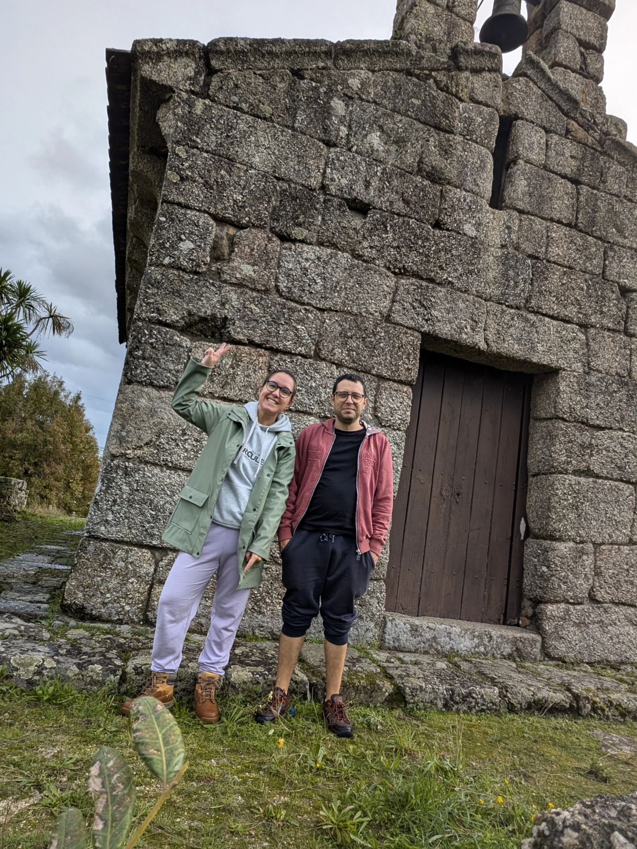
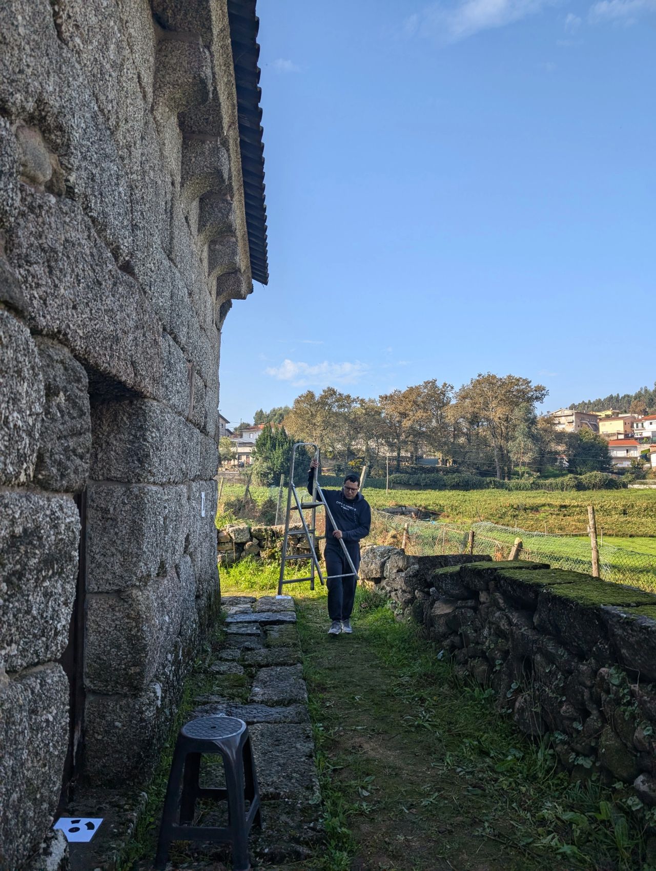
The first steps for the production of a detailed 3D digital model of the 13th-century São João de Calvos church, in Guimarães, Northern Portugal, were taken in November 2024 with the use of architectural archaeology, stratigraphic analysis, photogrammetry, ultrasonic testing and a drone, among other tools. The end goal is to demonstrate the use of Heritage – Building Information Modelling (H-BIM) for the safeguard, conservation and fruition of significant buildings.
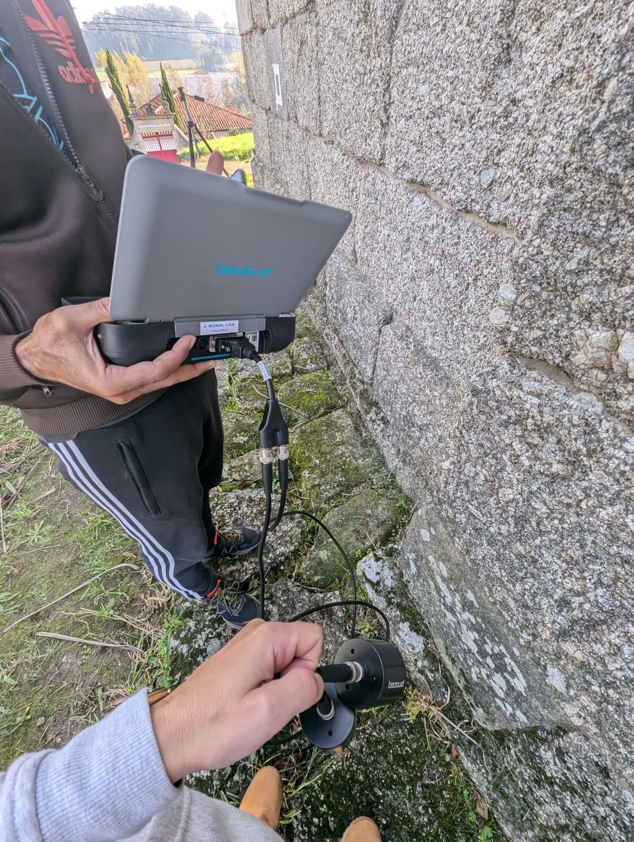
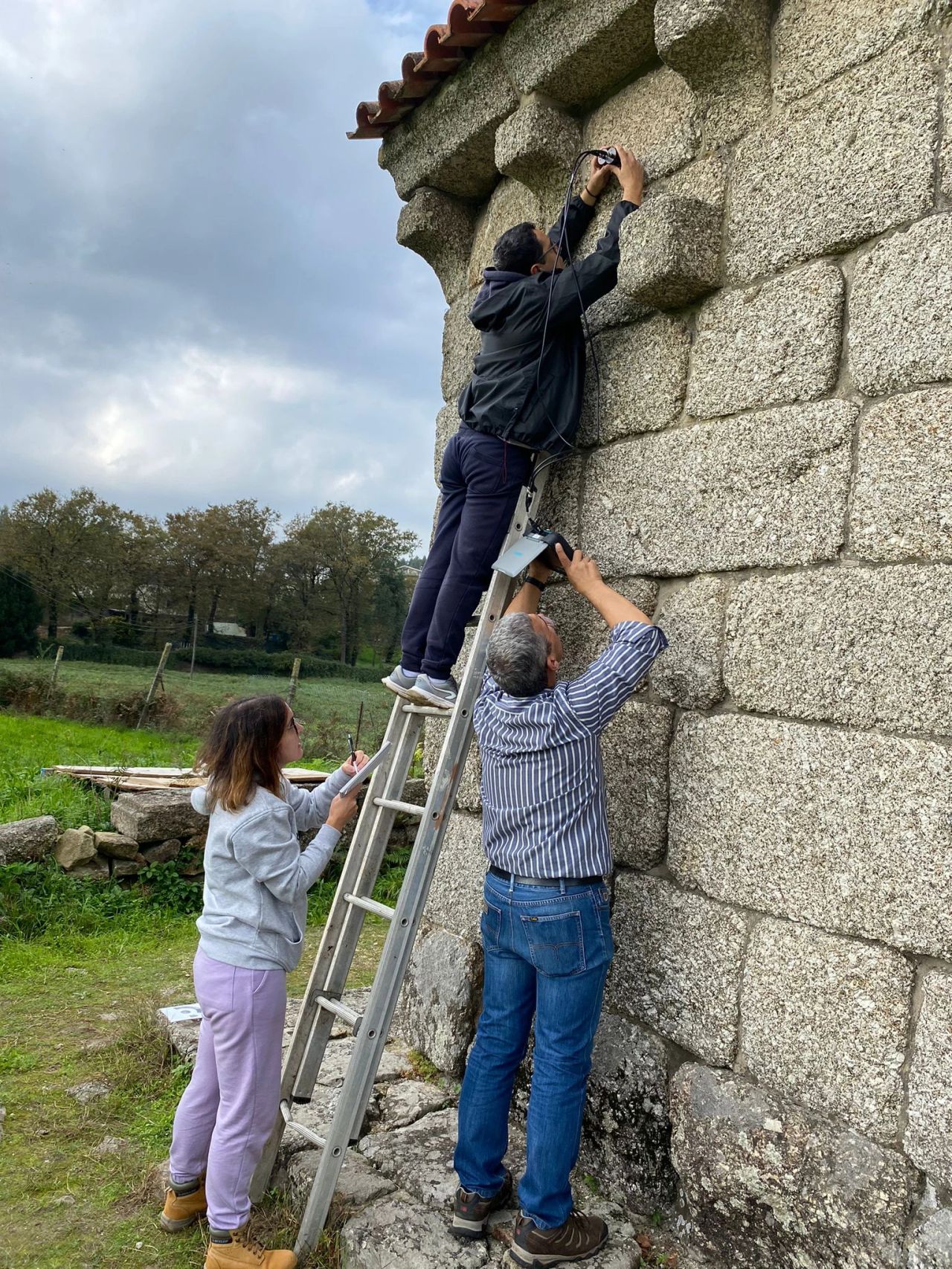
The fieldwork carried out at the site by the team of IN2PAST’s exploratory project ‘The Romanesque-style rural churches of Portugal: An initial stride towards the complete digitalization by Heritage-BIM – The case study of S. João de Calvos (Guimarães, 13th Cent. AD)’ included different levels of data collection using various technologies and instruments.
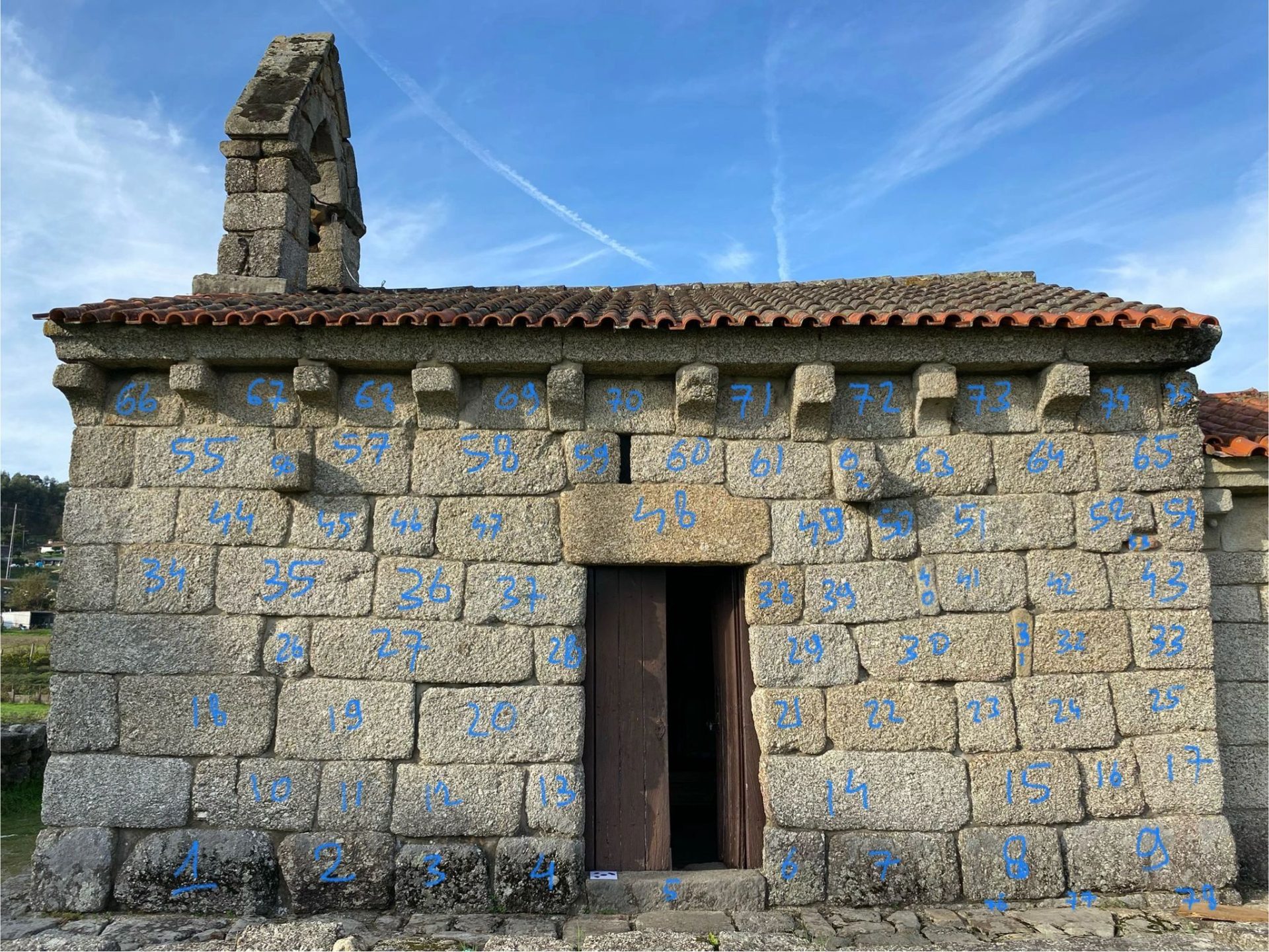
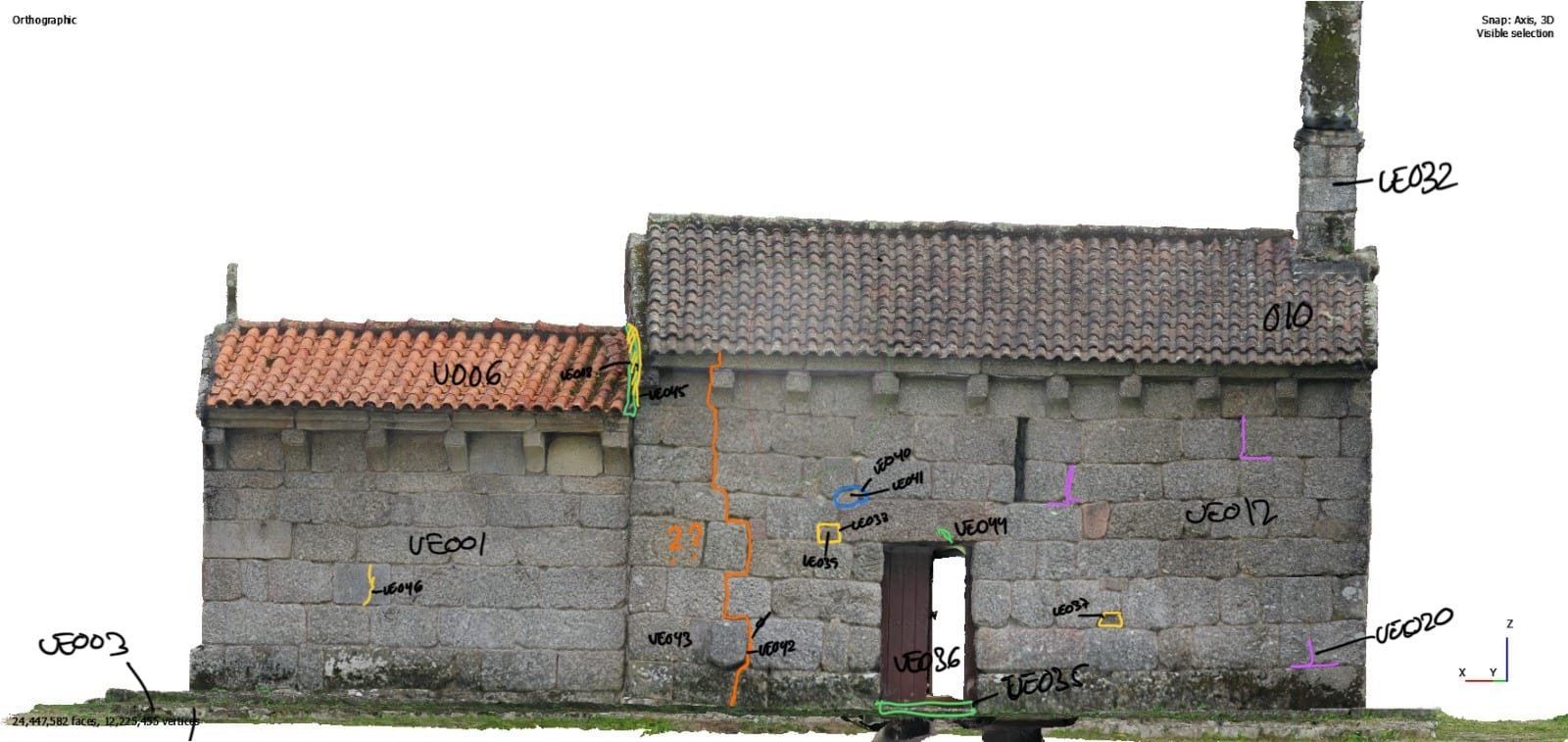
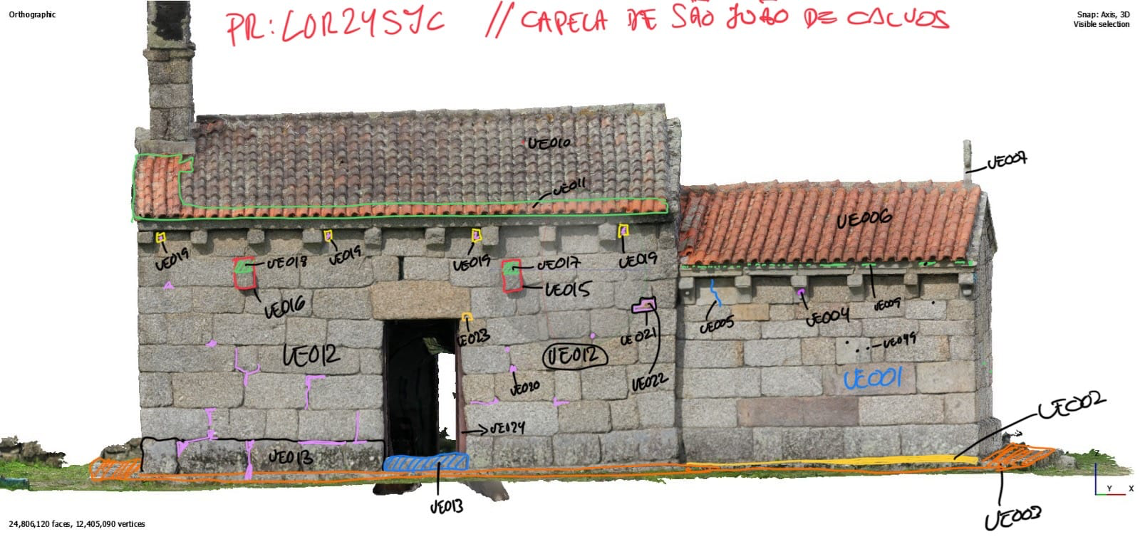
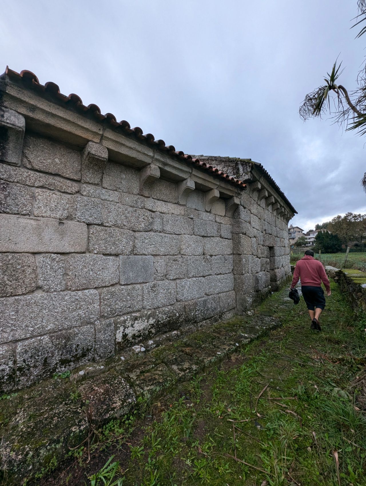
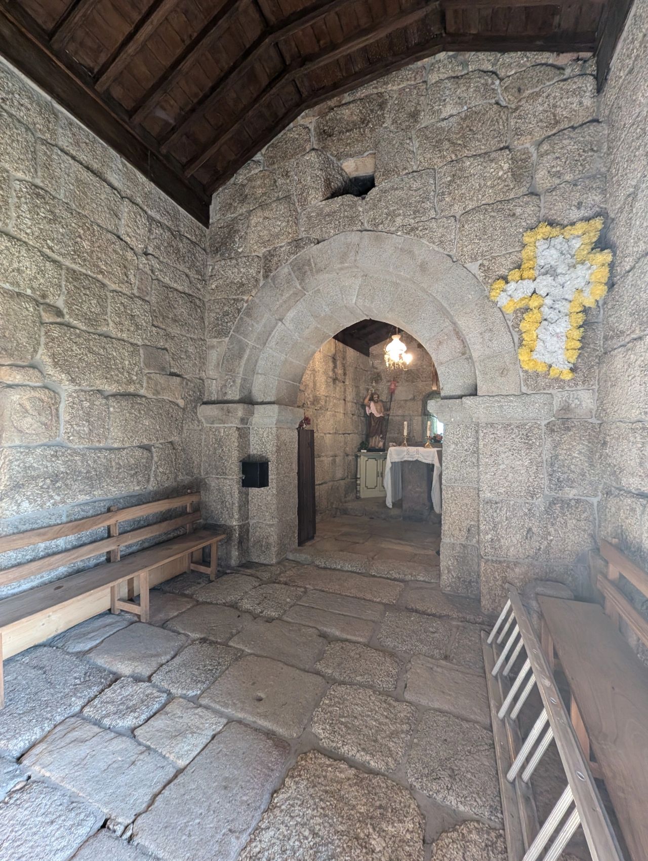
The chapel of S. João de Calvos is an example of late rural Romanesque (12th/13th century) retaining some elements of the original structure but with various construction phases visible, resulting from alterations that took place over time, particularly in the modern era. To determine the different construction phases of the church, the team set out to identify and organize the traces left by both constructive and destructive actions in the building, known as Stratigraphic Units (‘UE’, from ‘Unidade Estratigráfica’, in the pictures).
These units were then mapped onto the chapel’s elevations (the sides, or façades, of the building), arranged accordingly, and analysed in order to document their physical relationships (what connects, adjoins, or cuts through what?) as well as their chronological relationships (what is earlier, contemporary, or later than what?).
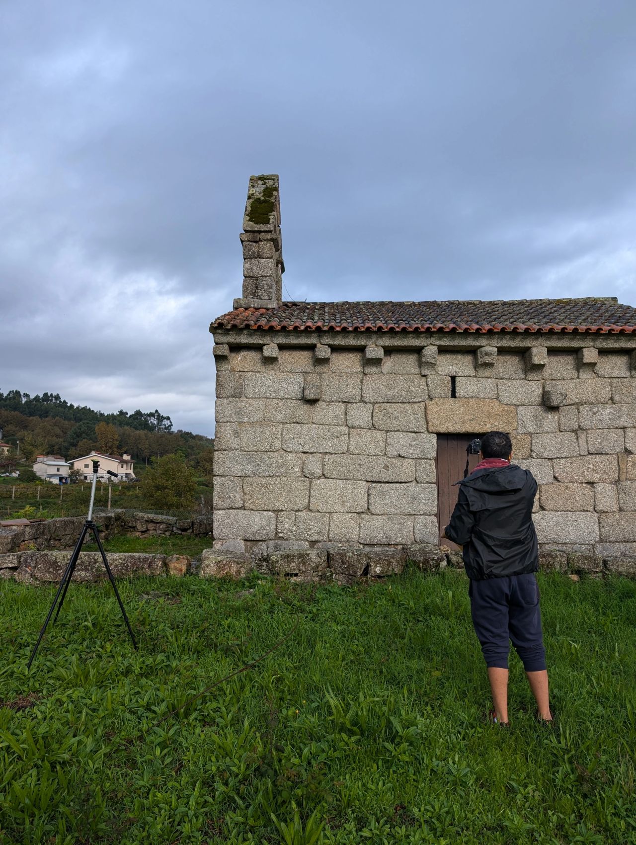
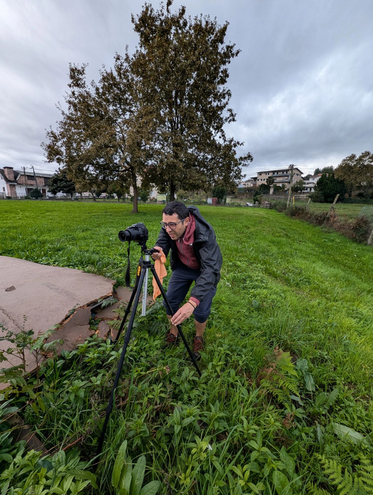
In the same field work, and in order to be able to analyse the H-BIM protocols, the S. João de Calvos church was reproduced three-dimensionally (click to learn more).