Using ground-penetrating radar, digital reconstruction and more
7/4/2025
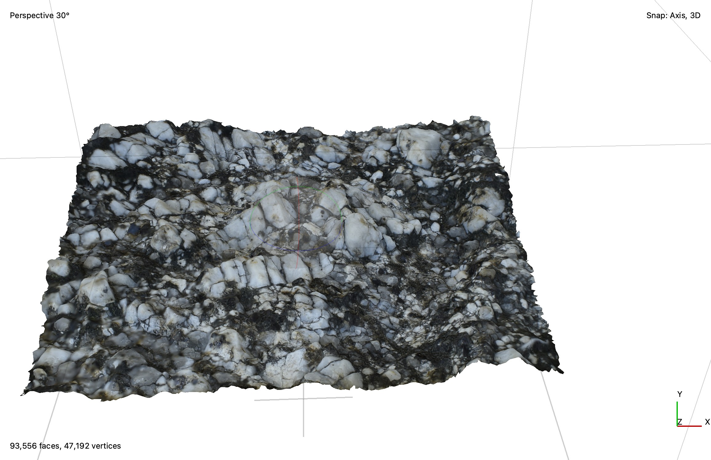
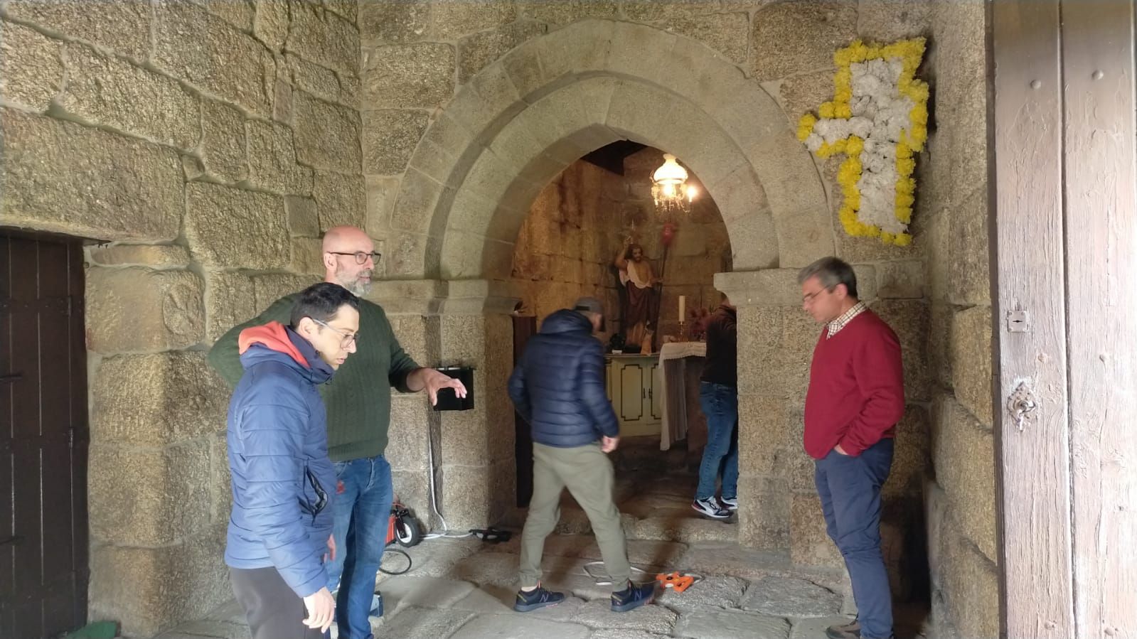
The use of ground-penetrating radar (GPR) for geophysical subsurface detection was at the heart of the second fieldwork campaign of project ‘São João de Calvos’, conducted on March 24, 25 and 26th, 2025, at the church’s site, in Guimarães, North of Portugal. The technique was used ‘to identify the presence of possible burials beneath or around the church, by constructing a geophysical model of the subsurface, which can be integrated with the three-dimensional survey of the entire building’, explains principal investigator (PI) Fabio Sitzia (HERCULES – University of Évora / IN2PAST).
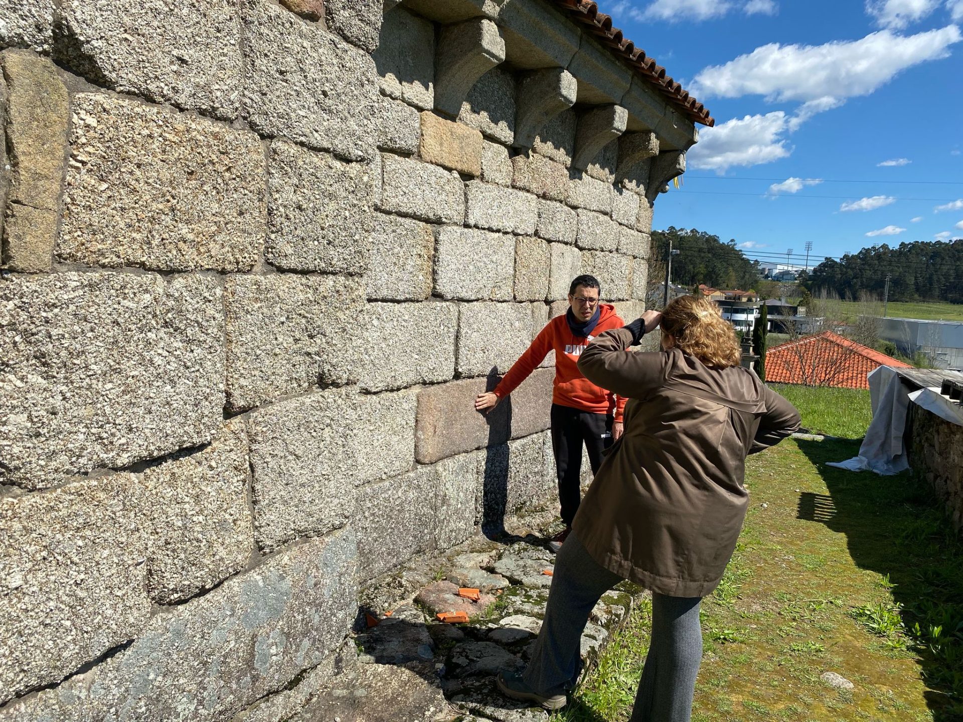
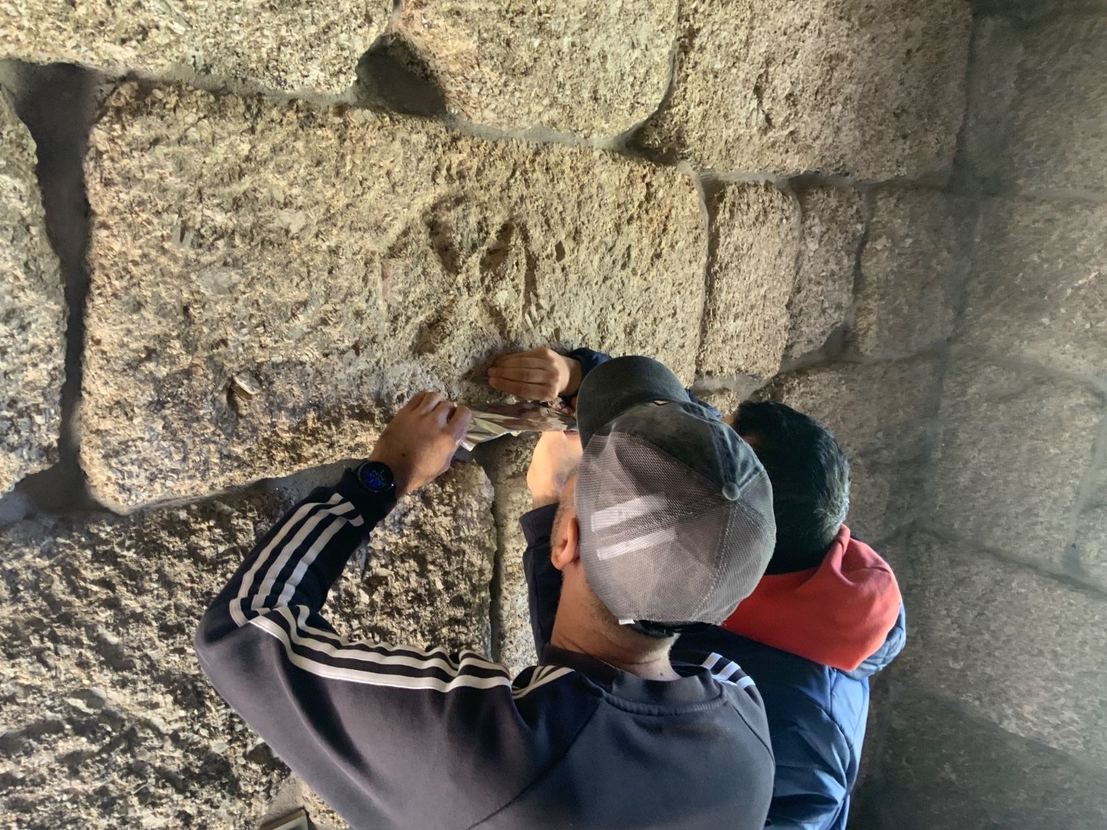
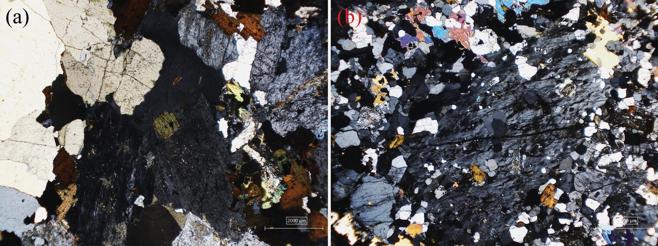
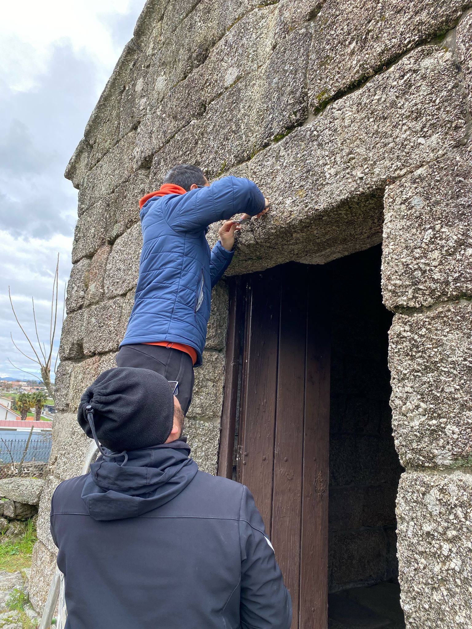
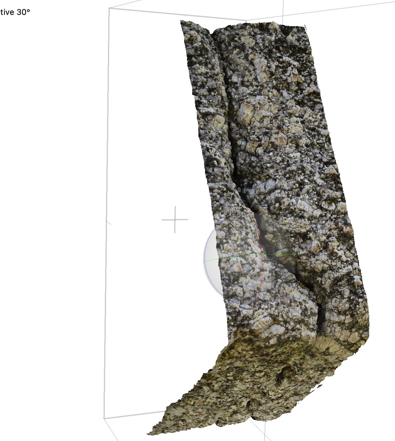
The team in the field proceeded with the work of collecting on-site technical-scientific and historical-architectural data started in November, towards the project’s end goal of a complete digitalisation of the Romanesque-style rural church based on Heritage – Building Information Modelling (H-BIM). ‘Micro-photogrammetry was carried out on portions of the external walls susceptible to weathering’, the PI exemplifies. Further photogrammetric monitoring of pre-existing fractures was performed, ‘particularly the one affecting the architrave of the west façade’, Fabio details, in order ‘to obtain a fissure map useful for future restoration work’.
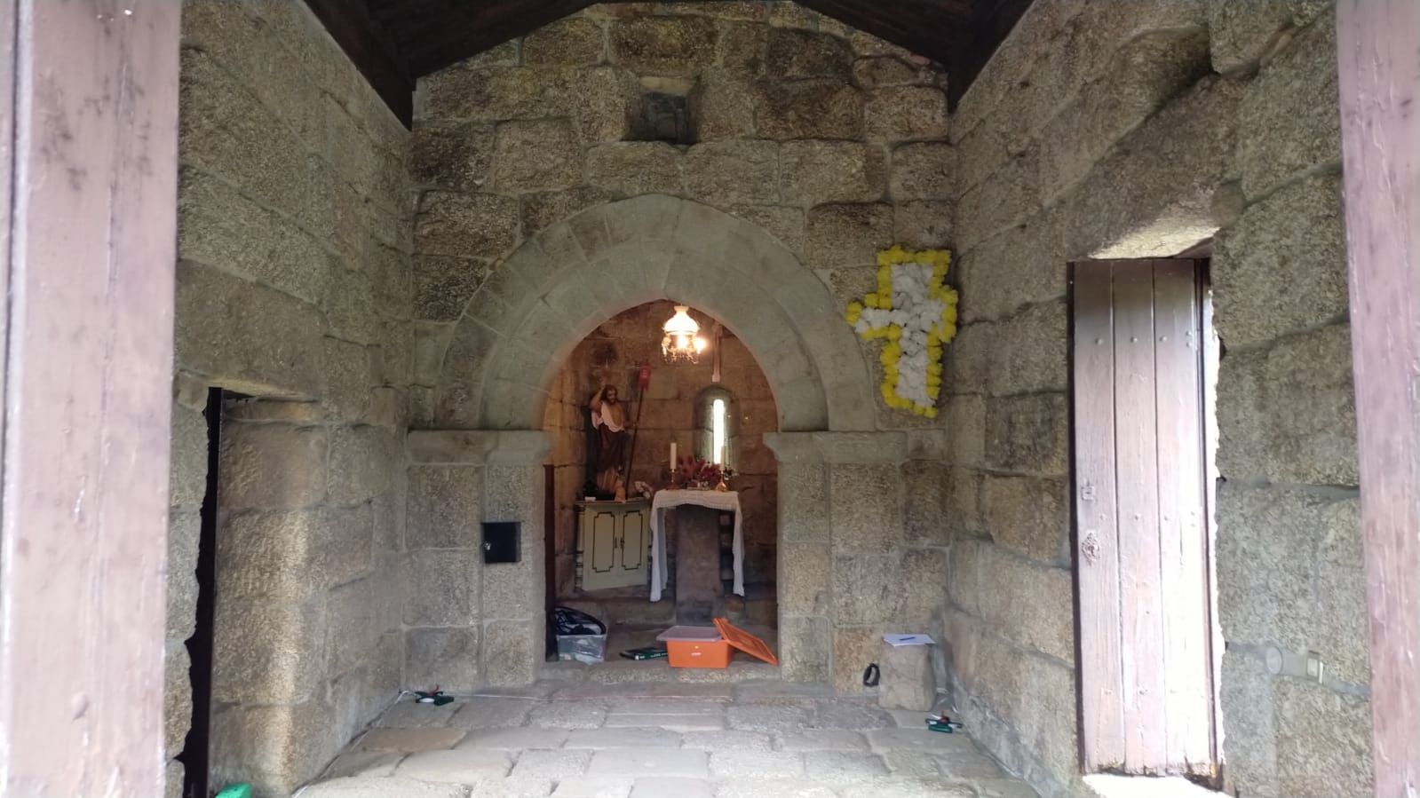
During the first fieldwork campaign, ultrasonic surveys of the church walls were conducted, along with the identification of the quality and provenance of the stone materials used, and the study of stratigraphic units to better understand the construction phases of the church. This time, the researchers continued the identification of building materials and construction phases, used the laser scanning technique LiDAR (Light Detection and Ranging) to survey the interior of the chancel and the Roman ara reused as the foot of the altar, and collected samples of paintings for laboratory analysis.
This IN2PAST exploratory project, named ‘The Romanesque-style rural churches of Portugal: An initial stride towards the complete digitalization by Heritage-BIM – The case study of S. João de Calvos (Guimarães, 13th Cent. AD)’, brings together researchers from four of the seven research units which make up the associate laboratory.